Steve Rowell
West Coast Points
2003
In collaboration with the Center for Land Use Interpretation.
![A few hundred feet west of the Peace Arch, pink spray-paint marks where the "continental" USA/Canada border runs out of dry land. Unmanned, flagged towers and Point Roberts are visible in the distance. Blaine, Washington. CLUI photo by Steve Rowell](https://freight.cargo.site/t/original/i/f922caeebea35ba484d307e570d91f9f2b62721a2906338b7af4d2ced2d461c9/030518-032-SR.jpg)
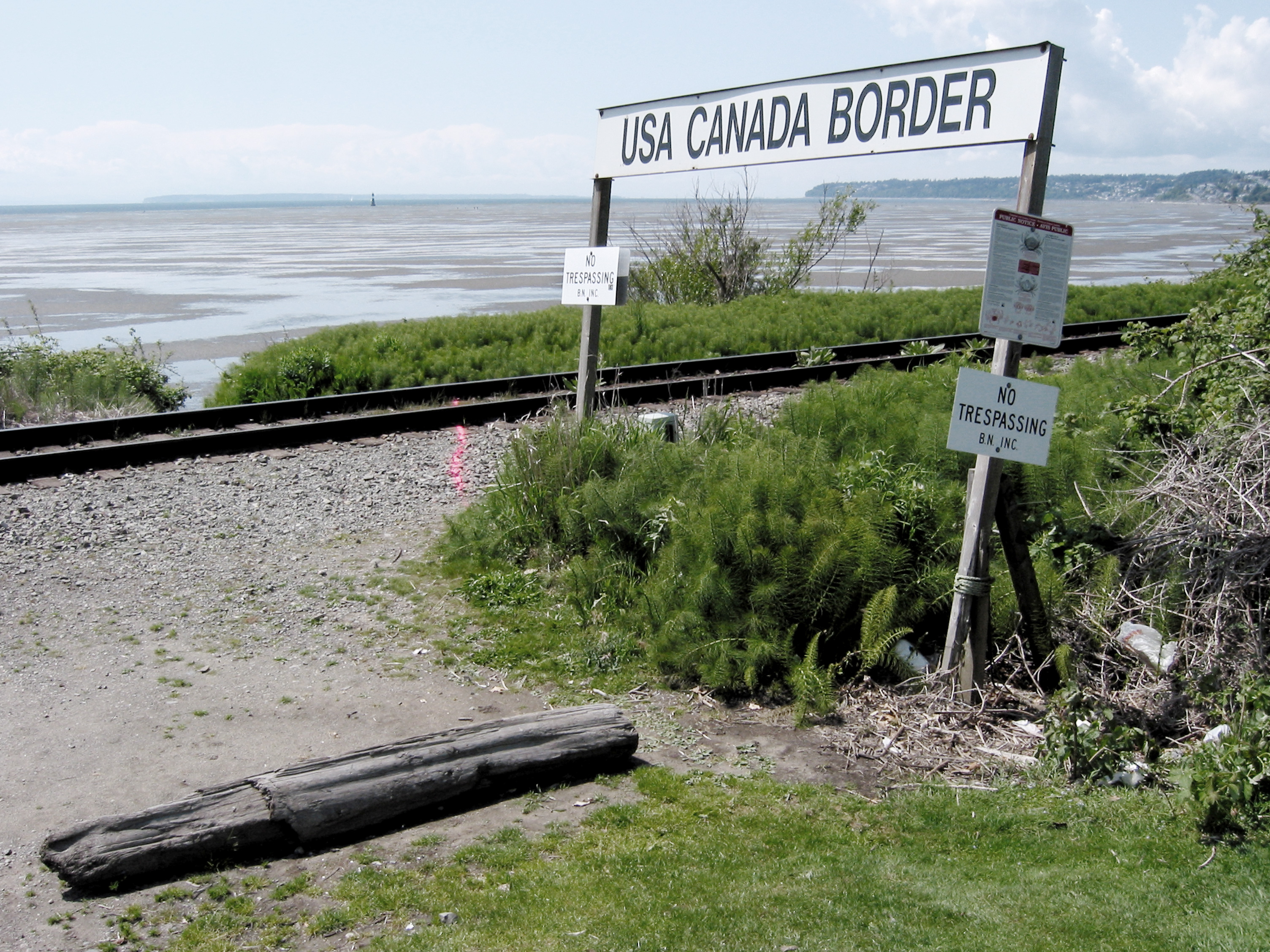
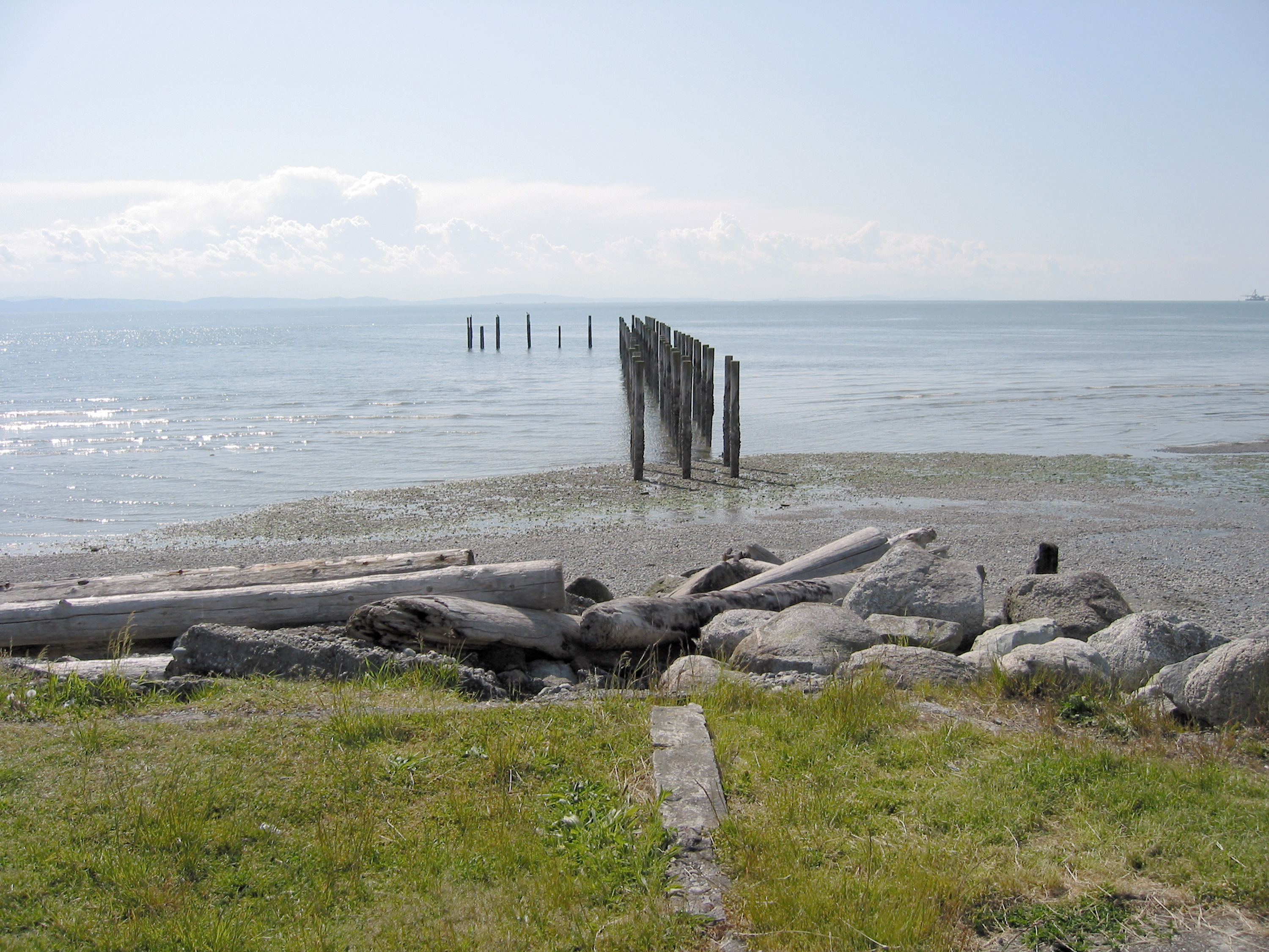
As part of its contribution to the exhibit, Baja to Vancouver, which will be travelling to a number of art museums (from Baja to Vancouver) starting later this year, the CLUI has been examining the landscape along the West Coast of the United States. Field researchers from the Center have been filling in the gaps in the Center’s photographic and text archives, completing a study of the land use of West Coast of the United States - the coastal line itself.
More from the Spring 2003 CLUI newsletter article
![Looking west at the last structures along the USA/Canada border, Point Roberts, Washington. CLUI photo by Steve Rowell](https://freight.cargo.site/t/original/i/73e60367e1cf514f24a292ab6dee28a37aa963347d37c89271cb985436eebcdc/030518-039-SR.jpg)