Steve Rowell
Dead Zones
2020-23
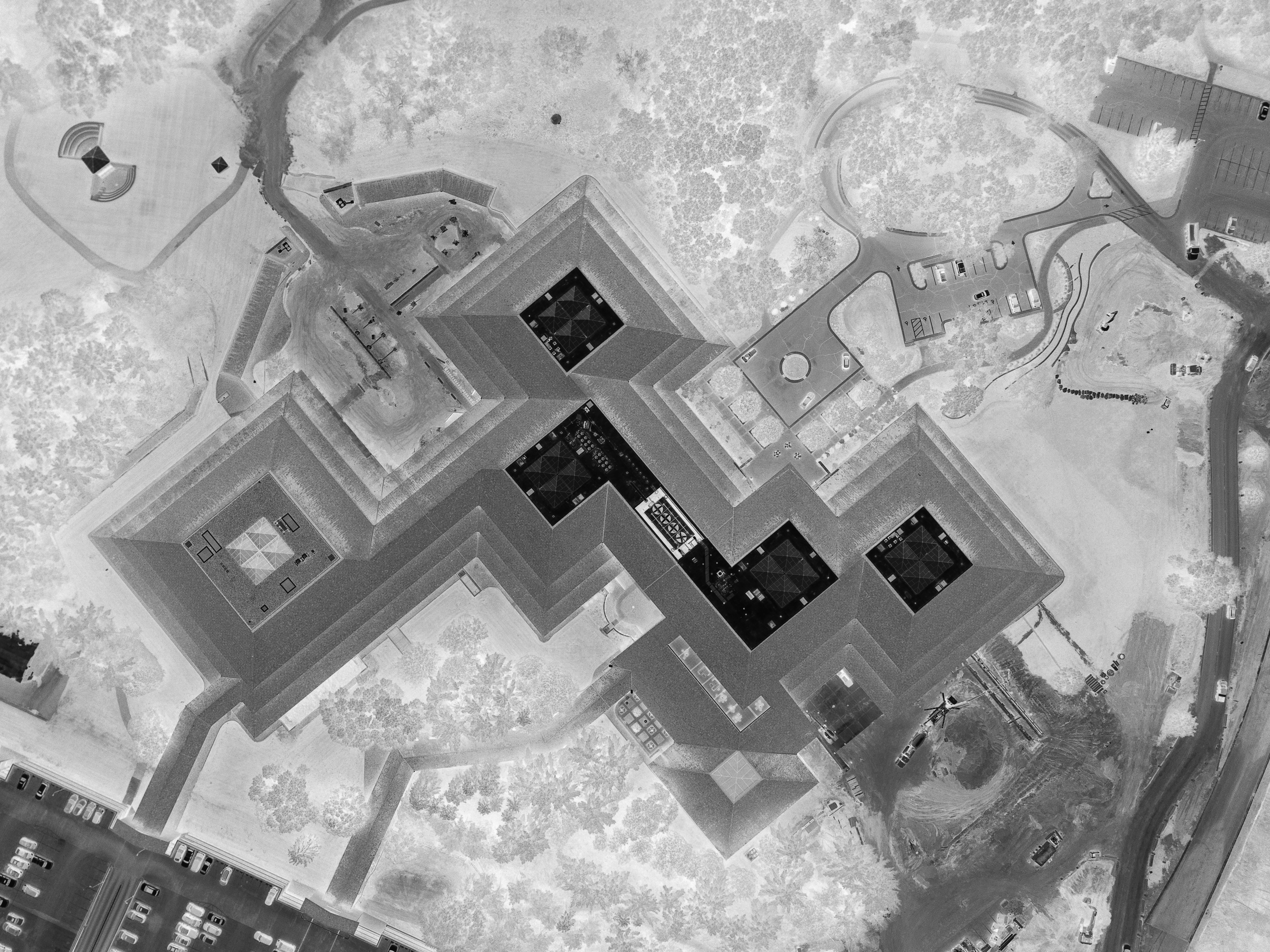
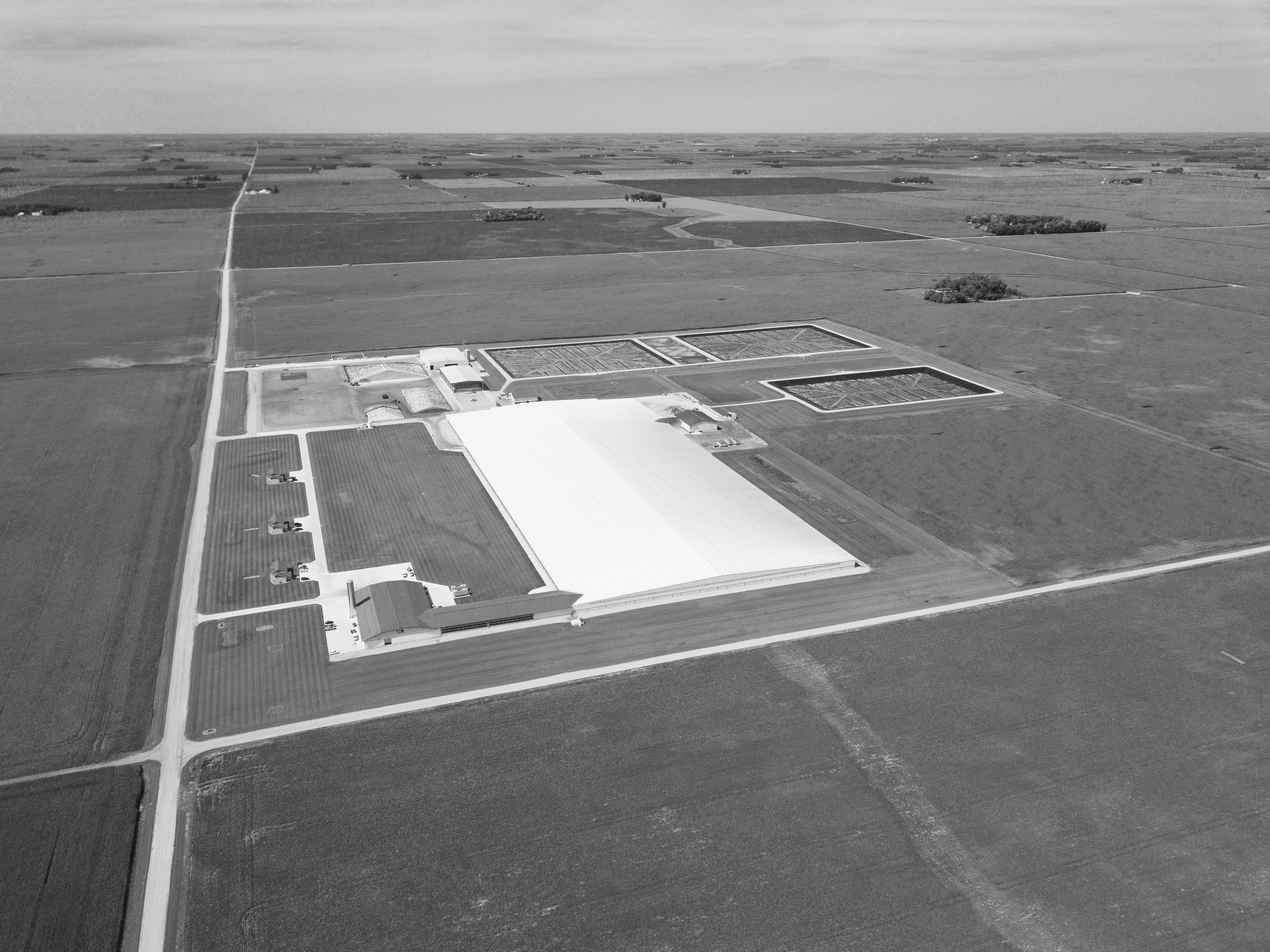
A film, photographic, essay*, and mapping project about the aquatic dead zone of the Gulf of Mexico and the terrestrial dead zones of subsidized factory farming across the transformed prairies of the “American heartland”. Critically threatened and devastated landscapes are revealed from above and below the land of the vast Mississippi River Watershed. In collaboration with Priyanka Basu.

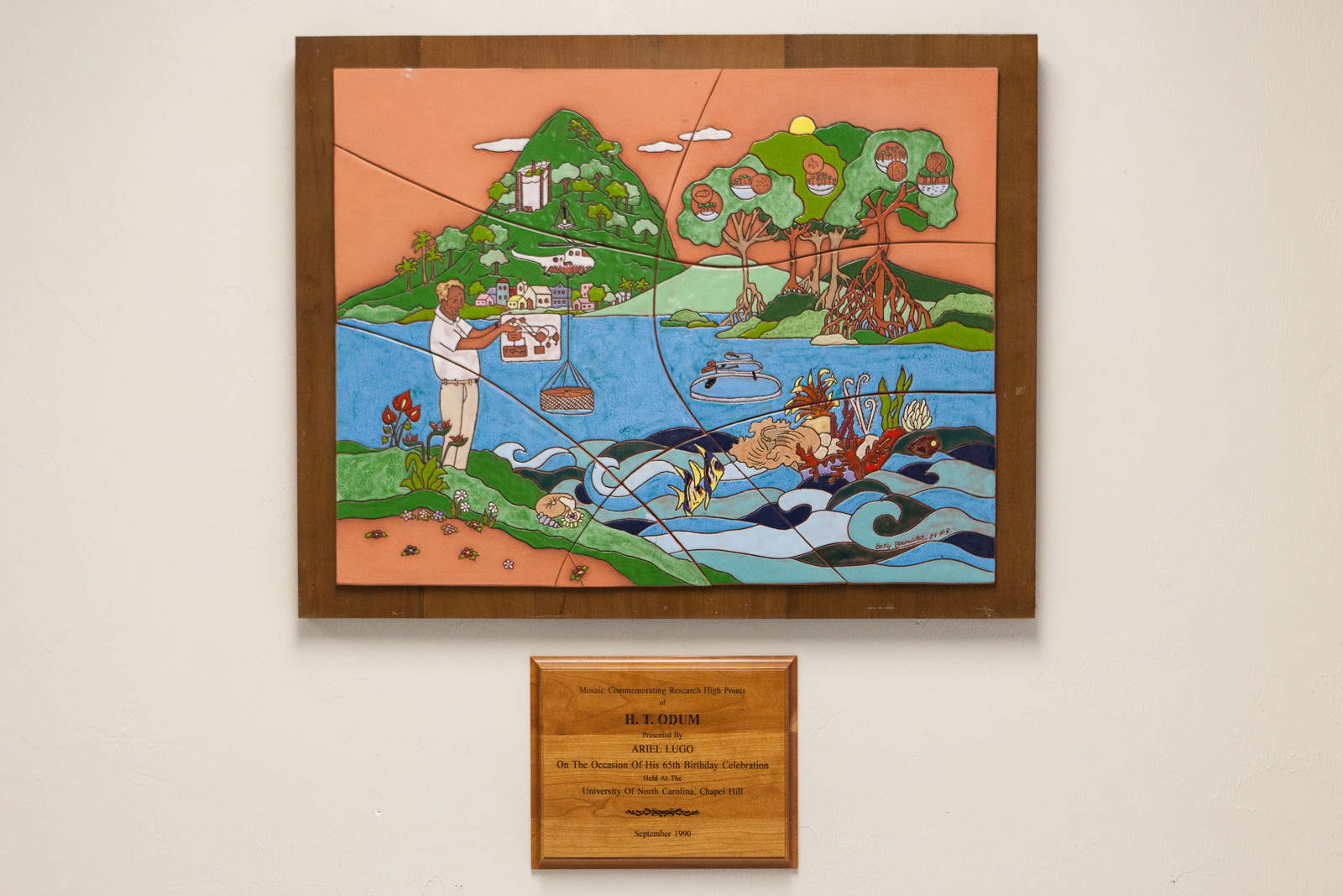
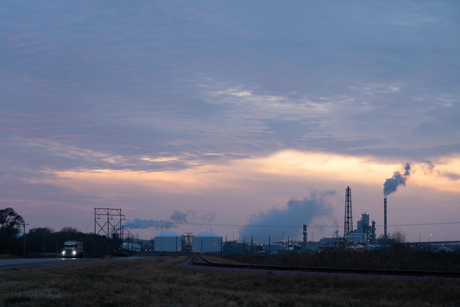
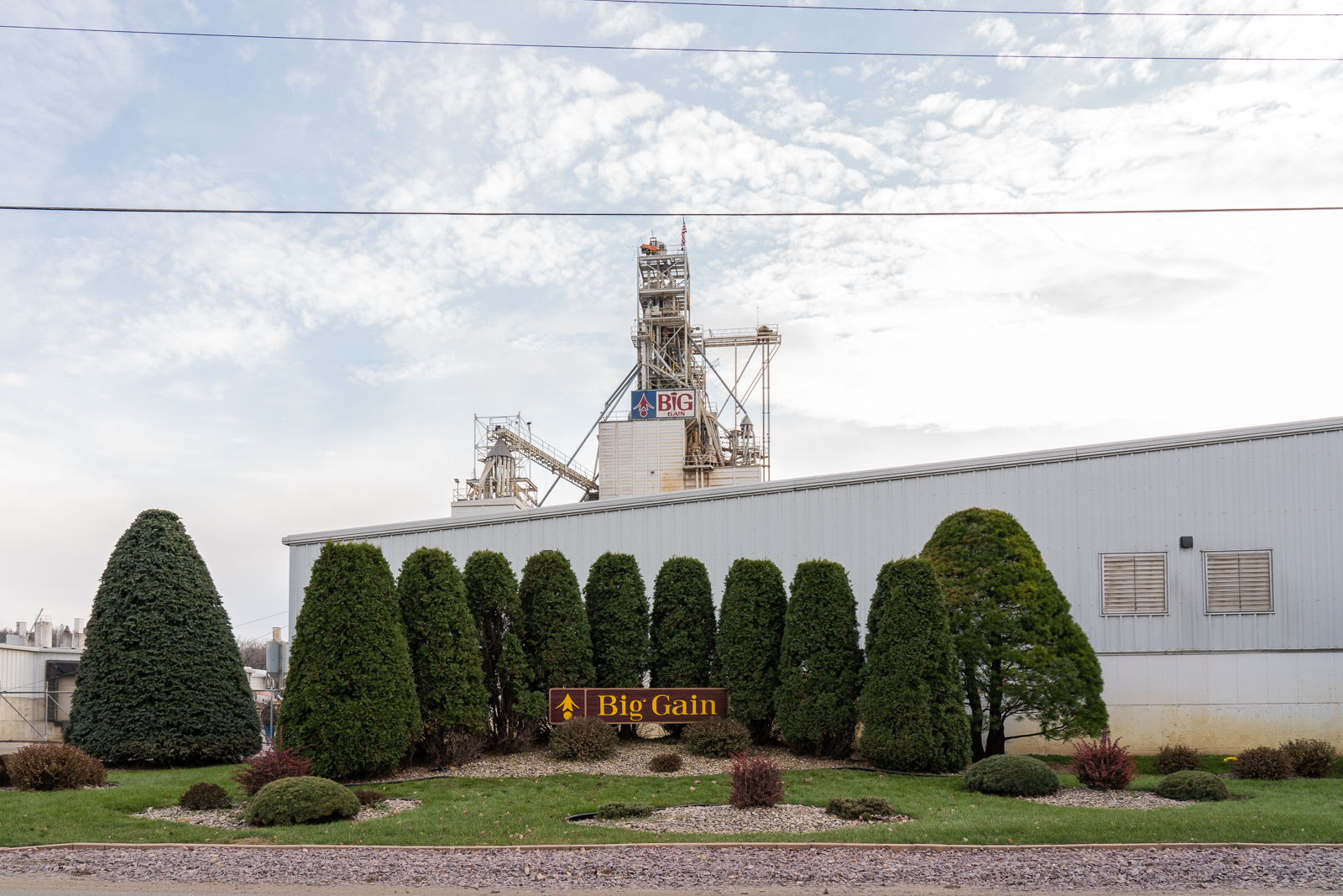
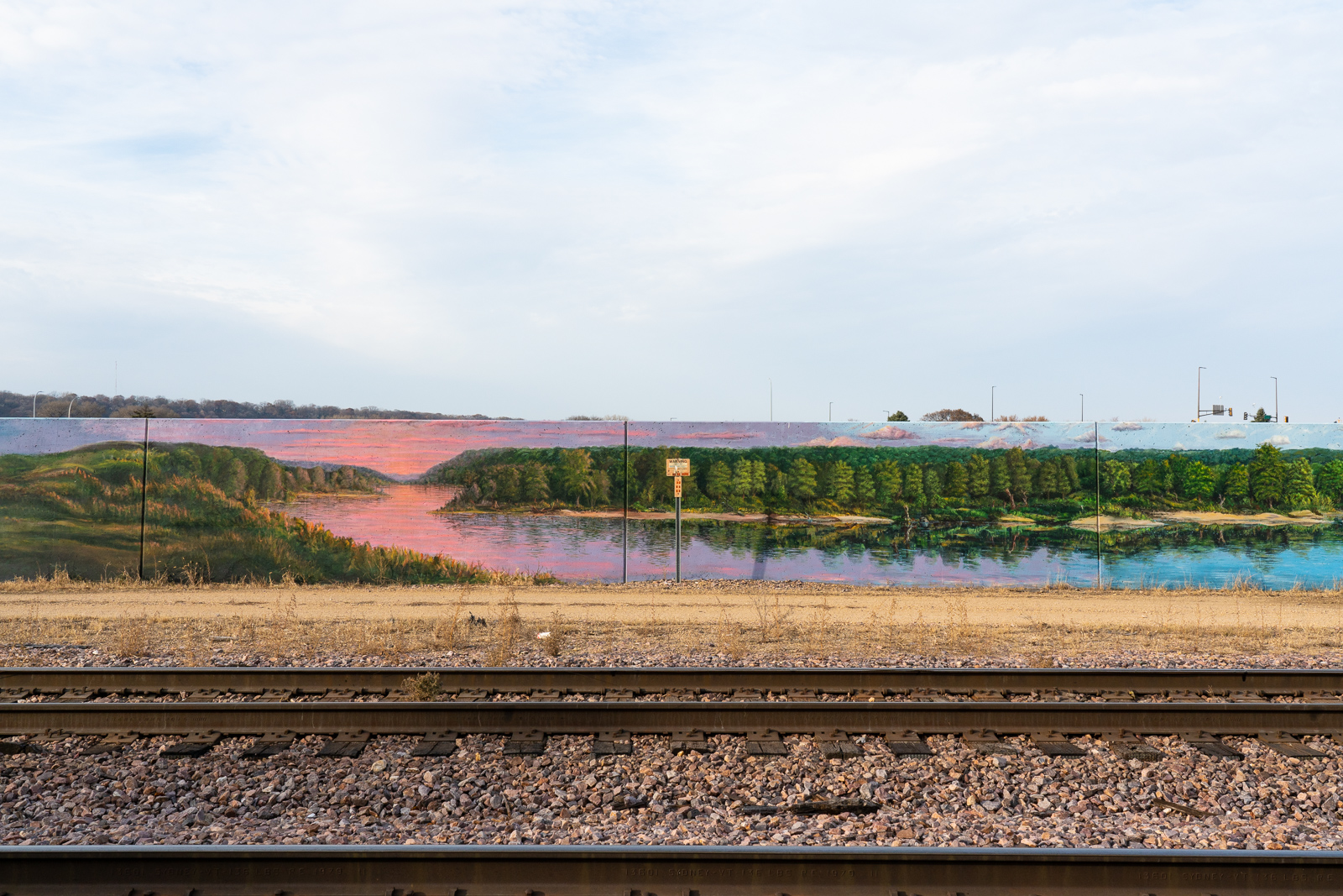
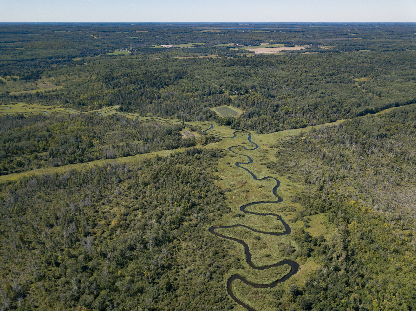
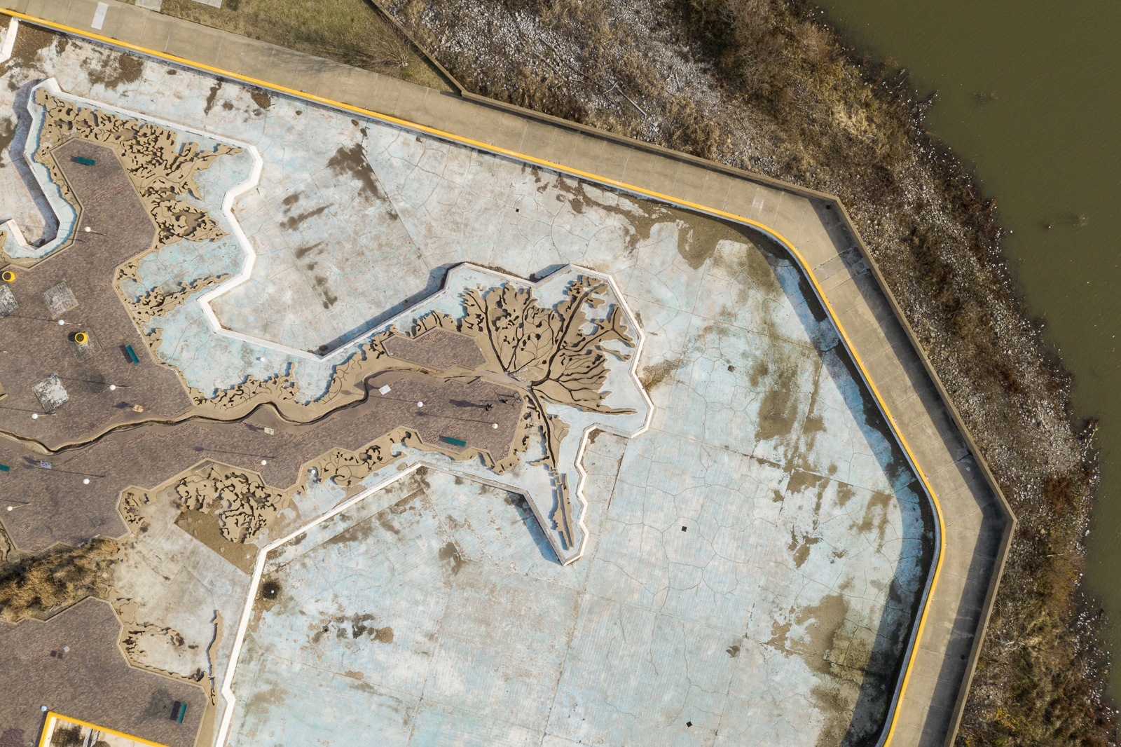
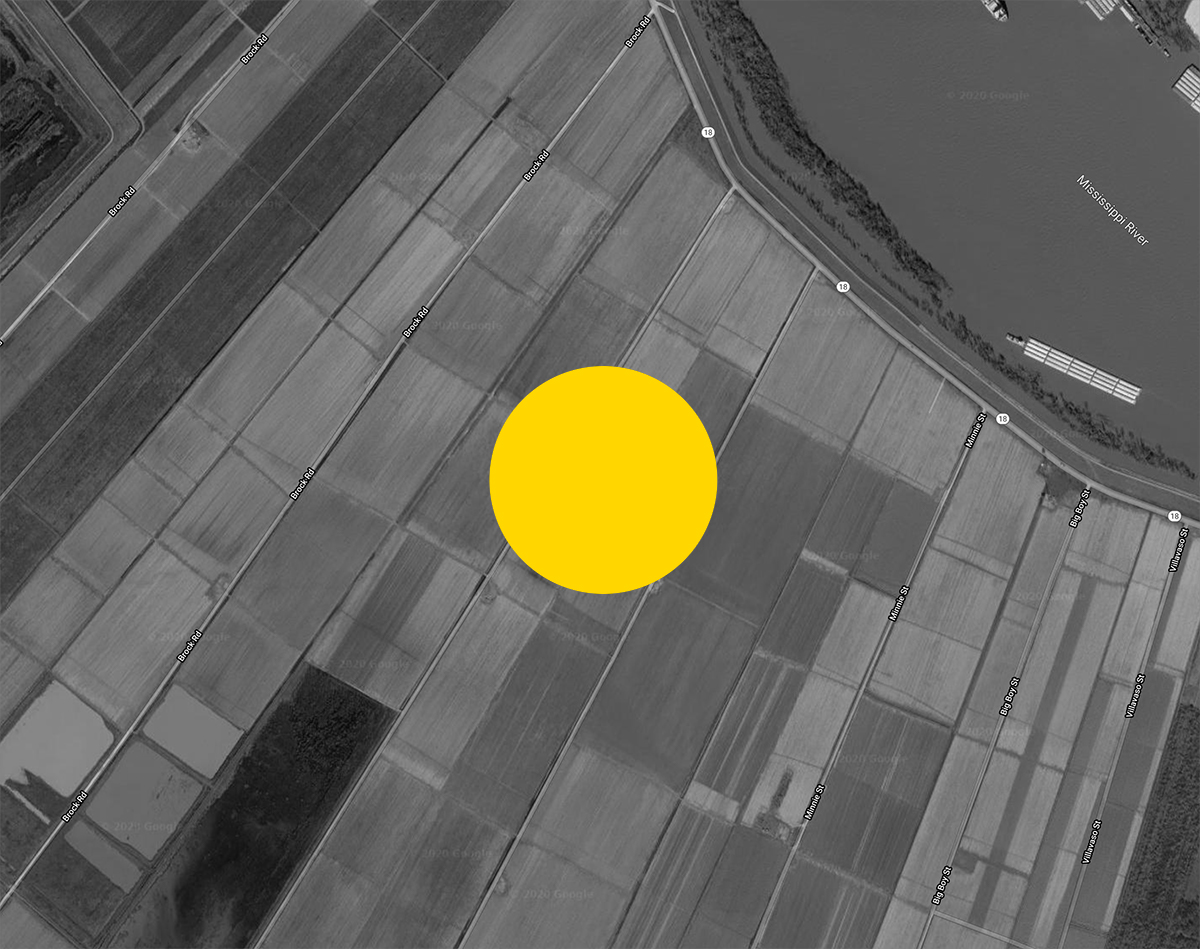
The Gulf dead zone is an exemplary instance of the normalization of environmental violence and death in the contemporary world. This dead zone, first recorded in 1972, is the massive hypoxic area in the Gulf of Mexico caused primarily by agricultural runoff along the Mississippi River. This overflow of excess nutrients, bacteria, and other waste materials causes the wild overgrowth of sunlight-absorbing algal blooms that blanket the Gulf for miles. The resulting waste and devastation spaces grow to enormous scales, and like other types of slow violence, are difficult to grasp and represent. These directly affect communities whose voices and stories are rarely heard, in this case, from rural communities along and at the end of the polluted waters, small-scale fishermen around the Gulf, to distinctive cultural communities, including communities of color, along the Mississippi River Delta.
* Text from “Dead Zones: Fertile Wastes at the Head and Tail of the Mississippi River” by Priyanka Basu and Steve Rowell in Decapitated Economies (Berlin, K. Verlag, 2023).
Made possible with support from the John Simon Guggenheim Memorial Foundation, the MacDowell Foundation, and the Art + Technology department at the University of Florida.
Film details:
DEAD ZONES, 2023, 17 minutes, single channel video, stereo sound
Steve Rowell: director, camera, writer, editor, sound
(text adapted from “Dead Zones: Fertile Wastes at the Head and Tail of the Mississippi River” by Priyanka Basu and Steve Rowell)
World art exhibition premiere, Insurgent Ecologies group show, Antenna, New Orleans, April-May 2023