Nav


Bio

CV

Exhibitions & Events

Contact


Projects

Lost Prairie Valley

Planetary Bayou

Field Guide to Environmental Crime: Houston and the Oil Coast

Dead Zones

Extinction Simulation Landscapes

Lunar Mosaics

MacDowell Trilogy

Humans Lived Here Once

Whole Life Academy

Comfort in Hydrology


Uncanny Sensing, Remote Valleys

Water Castle

Radio Aporee Sound Map

Midstream at Twilight

Parallelograms

Arrowhead

Forest Threnody

Big Hill Petro-glyphs

Current State

Points of Presence

Brandenburg Series

Svalbard Global Seed Vault

Sonic Boom Archive

Johnston Island Saturday Night

Suspension of Disbelief

Quantum Danube

Telegraph

Culpeper Media Bunker

A Doubting World

“... the floors of silent seas”

Background Listening Post

Regional Spatialities

Dark Places

Ultimate High Ground

American Oil Vol. I

Kleine Stücke von Berlin

TX AUX IN

Playas Townsite

Shepard Inversion Ghost

Hydromancy

Shock + Awe

Gloom & Doom / Tactile Air

Routes of Least
Surveillance


KDRS

Weather Radio

Site: Nonsite: Quartzsite

The Mountain Radio Project

Ballarat: Beneath Sentinel


CLUI Projects

Networked Nation

Perishable

Urban Crude

CLUI Touchscreen

Texas Oil

Wendover, U.S.A.

CLUI Exhibit Posters

Pavement Paradise

Vacation: Dauphin
Island


Dissipation & Disintegration

Terminal Island

Immersed Remains

Diversions & Dislocations

Emergency State

Loop Feedback Loop

A View into the Pipe

Ground Up

Nellis Range - Revisited

West Coast Points

The Best Dead Mall

Property

Antarctic 1

One Wilshire

Alternate Routes

Proximity Issue

Back to the Bay


︎  ︎

© 2024 Steve Rowell


Mark

Steve Rowell


Current State

2015


A map and book installation focusing on drought, water missuse, and the displacement of the Yokuts indigenous people from Tulare Lake and environs in the San Joaquin Valley, California.


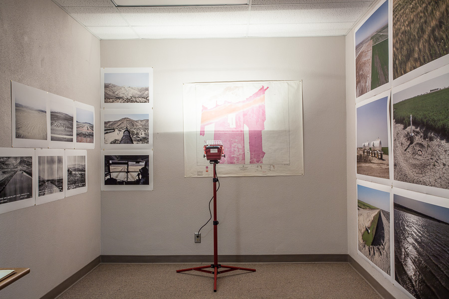
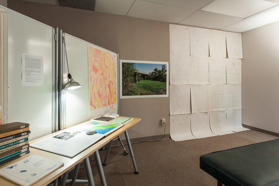
Current State was a multi-room video, audio, photo, and map installation as conclusion of my Spring 2015 library artist residency in conjunction with the Claremont Consortium Library, Special Collections, and Pitzer College's Environment + Art program.


Elements of the installation included:
  • Photographs of Tulare Lake Bed and the San Joaquin Valley (2015)
  • Photographs of Owens Valley and the Los Angeles Aqueduct (2004)
  • Archival photographs of the Los Angeles Aqueduct (1912)
  • Archival photographs of the San Antonio Dam in Claremont (1920s)
  • Drone video footage of cropland, canals, wasteland, salt sloughs, and North by Northwest crop duster scene film location on former Tulare Lake Bed (2015)
  • Audio of various locations at Tulare sites (2015)
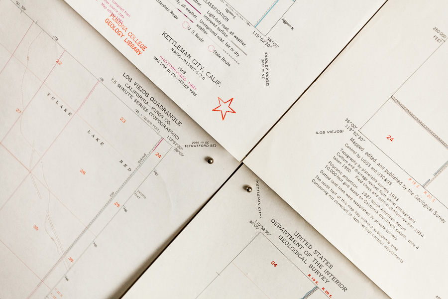
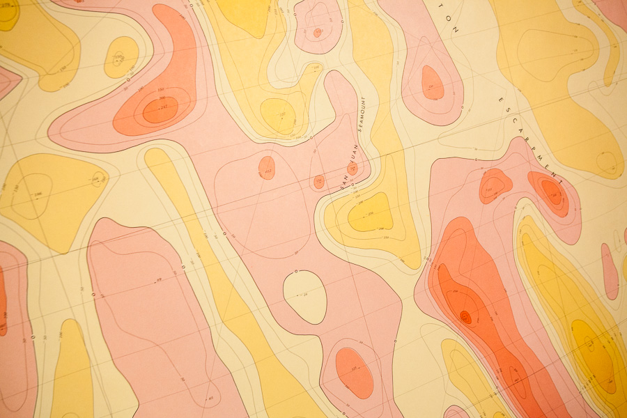
  • Book and map selection from library collections (various)

Residency: February - April 2015
Exhibition: April 23-30, 2015