Steve Rowell
Immersed Remains: Towns Submerged in America
2005
In collaboration with the Center for Land Use Interpretation.
Over the past century, hundreds of towns have been drowned in the nation, primarily for reservoir construction. Collectively, these lost places offer an alternate version of the history of America. An exhibit at CLUI Los Angeles from January 21 through March 27, 2005 explored the phenomenon of these intentionally submerged communities.
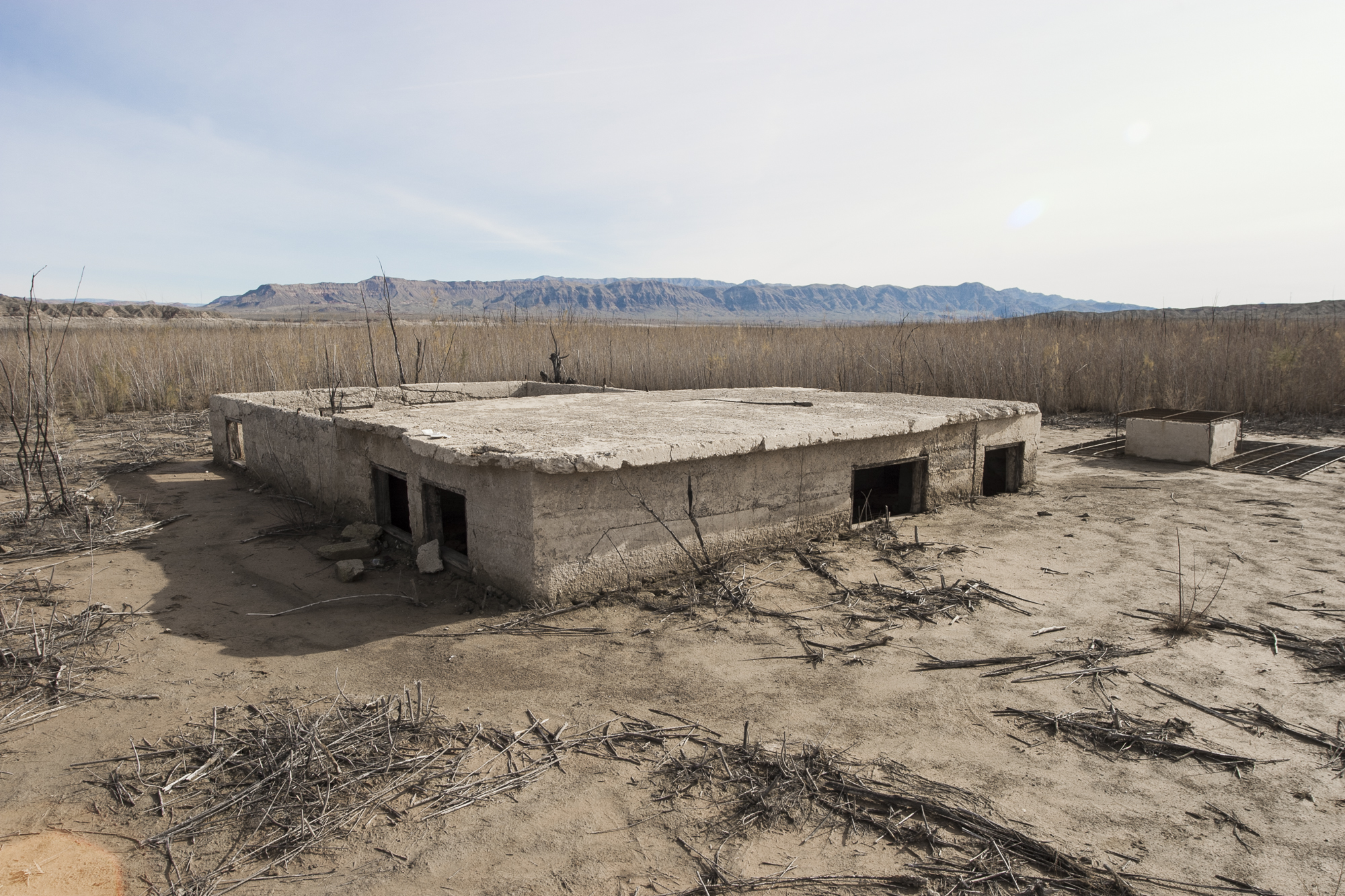
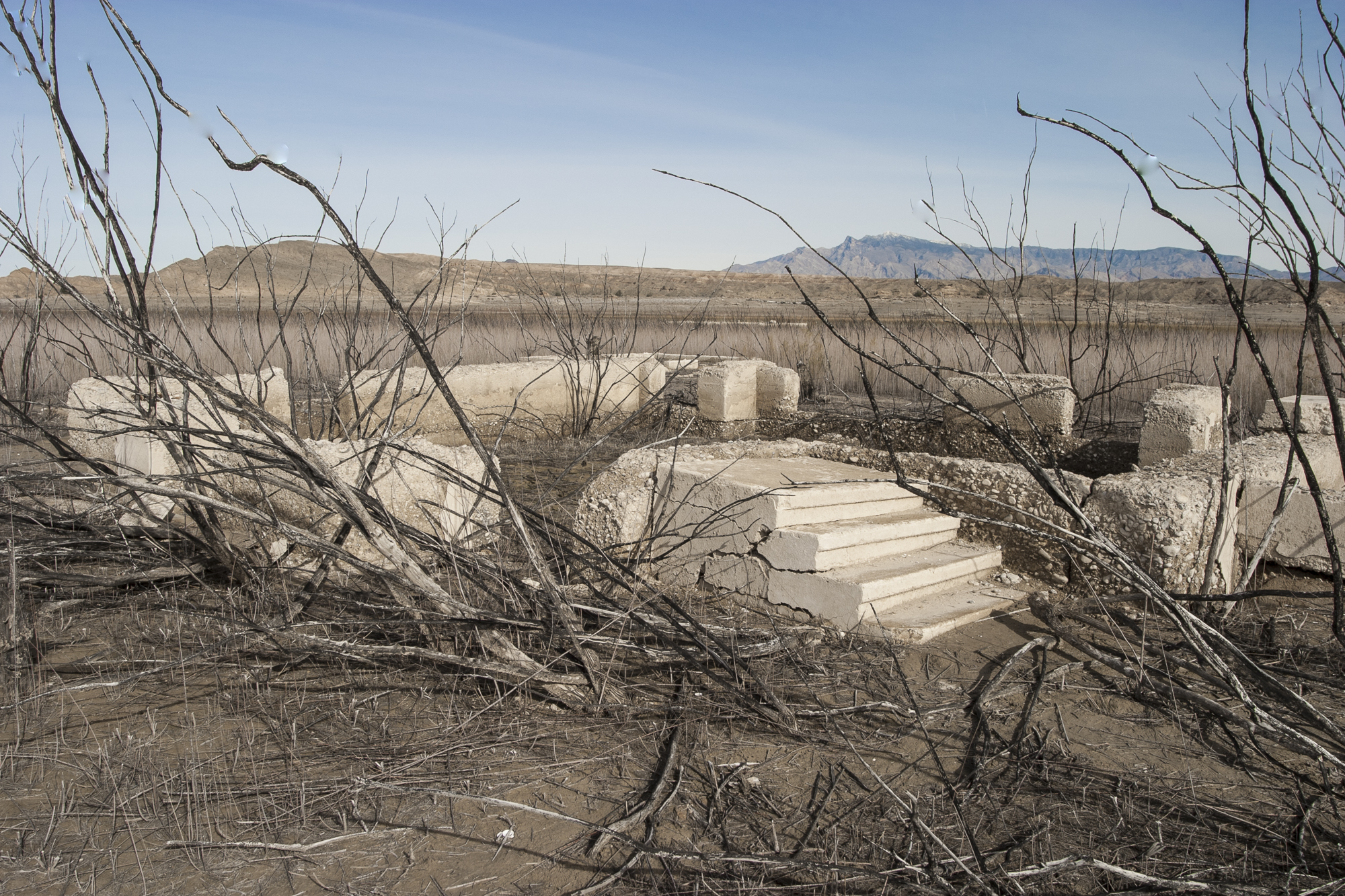
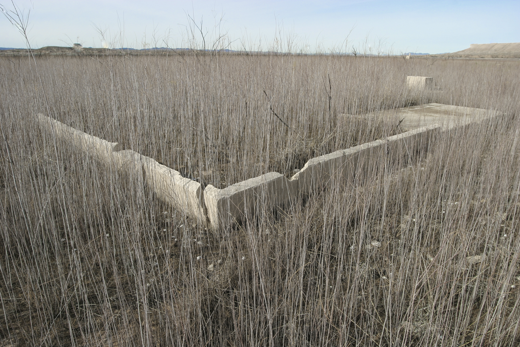
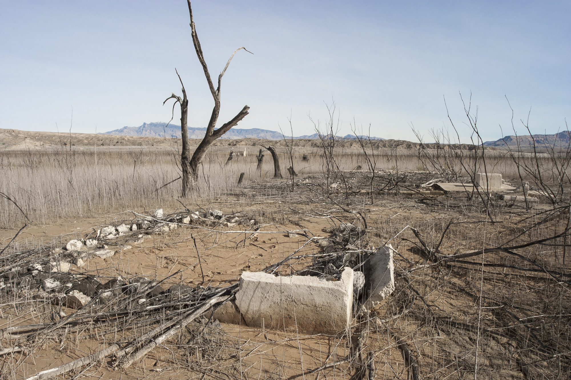
St. Thomas, Nevada (picured above and below) Draught and Drought
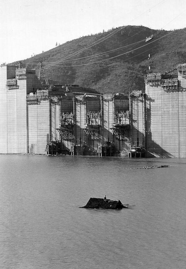
Like most of the early settlements in the desert southwest, St. Thomas was established in an area of available water, in this case the comparatively lush Moapa Valley, fifty miles northeast of where Las Vegas is now. The town started as a Mormon outpost in 1865, and was later part of a chain of agricultural communities in the valley following the Muddy River, including Moapa, Logandale, and Overton, that were otherwise surrounded by arid desert. St. Thomas had a peak population of around 500 people, and for a while was known for producing cantaloupes and asparagus. A railway spur served the valley, and US 91, the main highway to Los Angeles before Interstate 15, went through town, making it a stop for motorists. In 1938, however, as Lake Mead crept northward, filling in behind the Boulder Dam, St. Thomas, located at a lower elevation at the southern end of the valley, was flooded. At the moment, due to regional drought conditions, portions of forty buildings are visible at the exposed remains of St. Thomas, including the old school and the Hannig Ice Cream parlor. Also visible is the foundation of the Gentry Hotel, where former president Herbert Hoover stayed in 1932, while inspecting the nearby construction project he had helped to create. The Boulder Dam, which flooded the town, was later renamed in his honor. (from the Spring 2005 CLUI LOTL newsletter article)